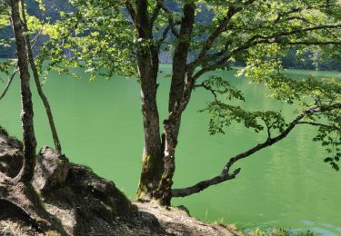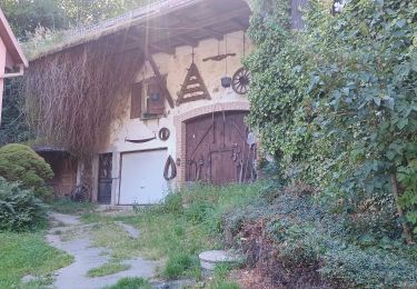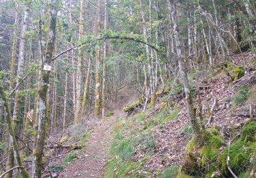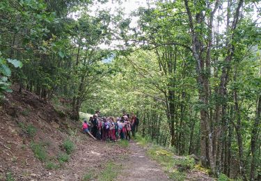
Trail Walking Sewen - Circuit des Cascades - Photo

Circuit des Cascades

 helmut68
helmut68

User

© OpenStreetMap contributors
Length
Length
14.8 km
Max alt
Max alt
1114 m
Uphill gradient
Uphill gradient
705 m
Km-Effort
Km-Effort  
24 km
Min alt
Min alt
494 m
Downhill gradient
Downhill gradient
718 m
Boucle
Boucle
No
Creation date :
2019-05-06 23:52:06.892
Updated on :
2019-05-06 23:52:06.892

(1 Reviews)

Walking
Walking
5h51
Difficulty : Medium

Scan this QR Code to open this trail in the SityTrail application

FREE GPS app for hiking

Logo SityTrail SityTrail

IGN / Geographical institutes

Download SityTrail from the App Store Download SityTrail from Google Play

Logo SityTrail SityTrail World

The world is yours!

Download SityTrail from the App Store Download SityTrail from Google Play Download SityTrail on Huawei AppGallery

About

Trail Walking of 14.8 km to be discovered at Grand Est, Haut-Rhin, Sewen. This trail is proposed by helmut68.

Description

Wagenstall et Hohlenbach - Wasserfall
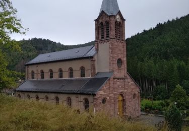
Départ et retour place de l'église de Seven.
Attention ! Il faut tenir compte de la période de l'année : sortie d'hiver il faudra traverser des pistes de ski ce qui sera dangereux si on n'est pas équipé pour, minimum bâtons et chaussures de marche...
Ce qui était notre cas de figure d'où durée parcours en conséquence ....
Bonne marche.

Elevation profile

Photos

Positioning

Country:
France
Region :
Grand Est
Department/Province :
Haut-Rhin
Municipality :
Sewen
Location:
Unknown
Start:(UTM)
343078 ; 5296746 (32T) N.

Comments

Please log in to post a review or rate the element


Trails nearby

Trail Walking Rimbach-près-Masevaux - Haute Bers - Photo
Walking
helmut68

Walking

Medium
(1)
Rimbach-près-Masevaux, Grand Est, Haut-Rhin, France
12 km | 20 km-effort
3h 25min
Yes
Trail Walking Saint-Maurice-sur-Moselle - Tour du Ballon d'Alsace - Photo
Walking
VacheKiri67

Walking

Difficult
(1)
Saint-Maurice-sur-Moselle, Grand Est, Vosges, France
10.5 km | 17.7 km-effort
5h 25min
Yes
Trail Walking Sewen - Boucle entre les lacs de Sewen et d'Alfeld - Photo
Walking
tracegps

Walking

Medium
(1)
Sewen, Grand Est, Haut-Rhin, France
8.1 km | 12.3 km-effort
2h 30min
Yes
Trail Walking Sewen - lac d'Alfeld  - Photo
Walking
klopbill

Walking

Very difficult
(1)
Sewen, Grand Est, Haut-Rhin, France
17.1 km | 28 km-effort
8h 7min
Yes
Trail Walking Kirchberg - 2022-07-15 Marche Refuge Baerenkopf Auberge Gazon Vert - Photo
Walking
GUIDE
holtzv

Walking

Very difficult
Kirchberg, Grand Est, Haut-Rhin, France
23 km | 38 km-effort
8h 21min
No
Trail Walking Rimbach-près-Masevaux - Les deux lacs - Photo
Walking
helmut68

Walking

Difficult
Rimbach-près-Masevaux, Grand Est, Haut-Rhin, France
15.5 km | 25 km-effort
5h 47min
Yes
Trail Walking Wegscheid - FucksfelsenBelacker - Photo
Walking
helmut68

Walking

Medium
Wegscheid, Grand Est, Haut-Rhin, France
14.4 km | 24 km-effort
4h 9min
Yes
Trail Walking Wegscheid - Sattelboden Stahlberg - Photo
Walking
helmut68

Walking

Very difficult
Wegscheid, Grand Est, Haut-Rhin, France
11.9 km | 20 km-effort
4h 35min
Yes
Trail Walking Wegscheid - Sortie école primaire - Rossberg - Photo
Walking
helmut68

Walking

Medium
Wegscheid, Grand Est, Haut-Rhin, France
11.8 km | 19.1 km-effort
4h 48min
Yes


Close
My subscriptions