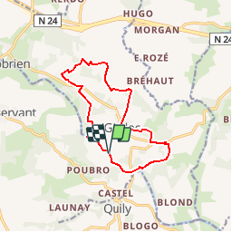

21 km | 25 km-effort


User


FREE GPS app for hiking
 SityTrail
IGN / Geographical institutes
SityTrail World
The world is yours!
Trail Walking of 11.8 km to be discovered at Brittany, Morbihan, Guillac. This trail is proposed by tracegps.
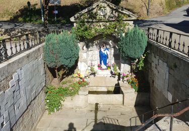
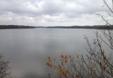
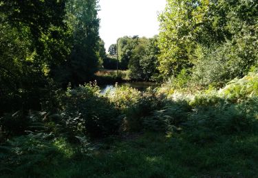
Point de départ : Ecluse de Guillac -Coordonnées GPS : 02°28’16’’O / 47°54’16’’N - Distance : 13 km - 3 h 30 A voir en chemin: 1. La croix de la lande du Temple : datée du VIIème siècle, elle est certainement l’une des plus anciennes croix médiévales de la commune. Composée d’un seul bloc et légèrement épaisse, elle est taillée dans le schiste. 2. L’église paroissiale de Guillac : elle est en forme de croix latine (XVIème siècle) et à la particularité d’avoir un clocher recouvert d’ardoises typiques de la région. Cet édifice abrite la Donation du Rosaire. 3. La croix de la Coudraie : c’est la croix la plus récente du circuit (XVIIIème siècle). Cette crois calvaire représente d’un côté le Christ crucifié et de l’autre la Vierge à l’Enfant. 4. Le village de la ville Dan : ce village tout en pierre témoigne du contraste entre le moellon du schiste et la pierre du garnit. A la belle sasion un parterre fleuri vient l’embellir et la mettre en valeur. Contact: Office de tourisme de Josselin .02 97 22 36 43 - Email : ot.josselin (at)wanadoo.fr
Walking
On foot
Walking
Walking

On foot
Walking

Walking