


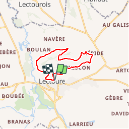

18.8 km | 24 km-effort

User


FREE GPS app for hiking
 SityTrail
IGN / Geographical institutes
SityTrail World
The world is yours!
Trail Walking of 10.5 km to be discovered at Occitania, Gers, Lectoure. This trail is proposed by tracegps.
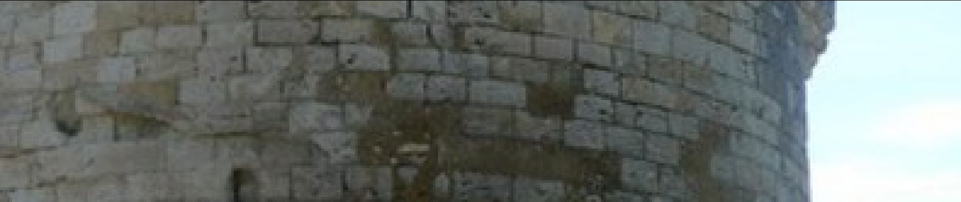
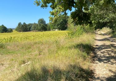
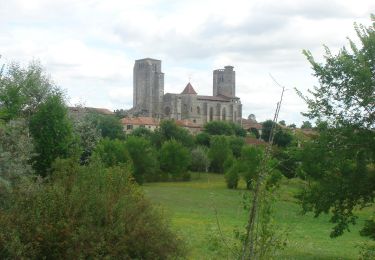
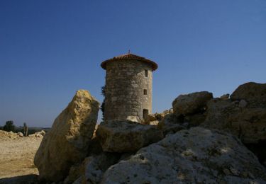
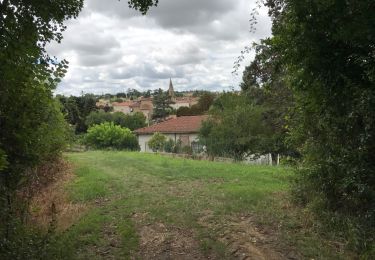
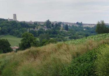
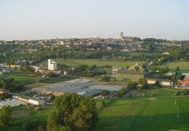
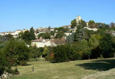
Bournaca – Lectoure La randonnée pour tous et en toute liberté… A 1 heure de Toulouse, découvrez un paysage gersois accueillant, pays du bien vivre et du « bonheur dans le pré ». Au cœur de notre douce Lomagne aux reflets de toscane, venez vous adonner aux joies de la randonnée pédestre et VTT. Les excellentes conditions climatiques et les qualités topographiques de nos campagnes ont permis de baliser plusieurs kilomètres de sentiers qui offrent, aux amateurs d’activités de plein air, un large choix de circuits pédestres et VTT. La communauté de communes surveille le balisage et l’entretien de ces chemins, et vous assure ainsi le plaisir de pratiquer la randonnée en toutes saisons. Départ de la Tour du Bourreau. Paysage typique lectourois, vue sur la cité, la chartreuse de Baqué, anciens moulins à eau et à vent… Circuit numérisé par la Communauté de Communes de la Lomagne Gersoise.


Walking
Walking
Walking

Walking
Walking
Walking
Walking
Walking

Walking