


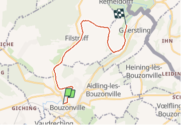

18.3 km | 23 km-effort

User


FREE GPS app for hiking
 SityTrail
IGN / Geographical institutes
SityTrail World
The world is yours!
Trail Other activity of 10.6 km to be discovered at Grand Est, Moselle, Bouzonville. This trail is proposed by tracegps.
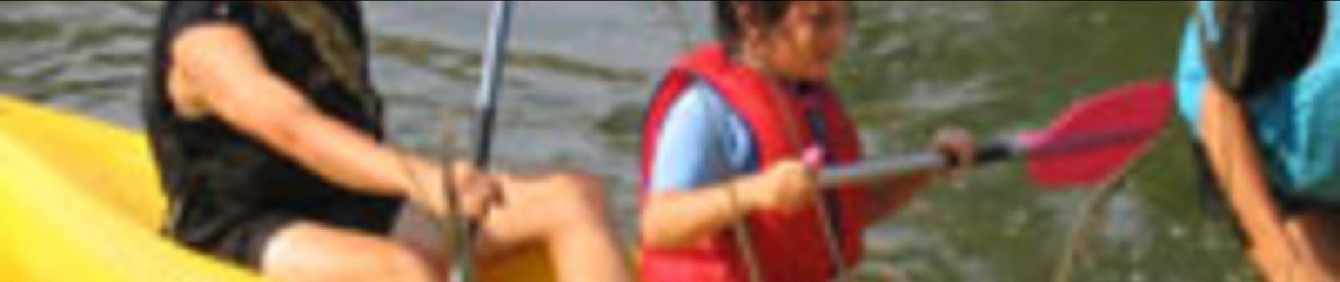
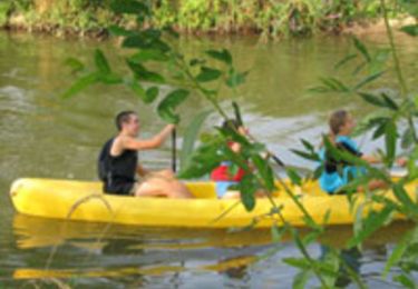
La Nied, rivière sauvage qui traverse le centre de la Moselle, est idéale pour s'essayer à la pratique du canoë-kayak. Si la descente présente peu de difficultés compte-tenu du caractère peu tourmenté des eaux, quelques passes à bateau vous procureront de belles sensations. Vous pénétrez un milieu naturel fragile composé d'une faune riche. Hérons cendrés, poules d'eau, martin pêcheur vous surprendront par leur beauté. De même la flore sauvage composée d'iris, de nénuphars est uniquement à observer . La cueilliette est interdite. Bonne balade!


Cycle
Mountain bike
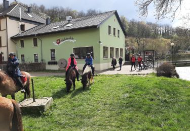
Horseback riding
Other activity


Walking
Walking
Walking