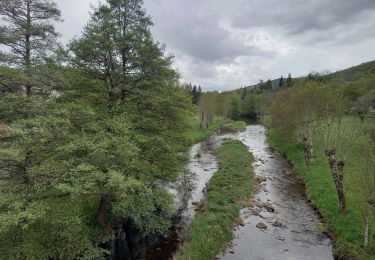
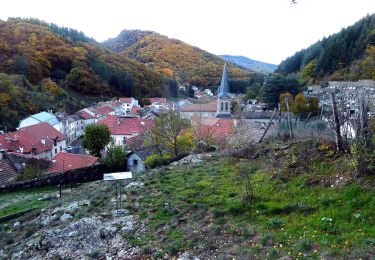
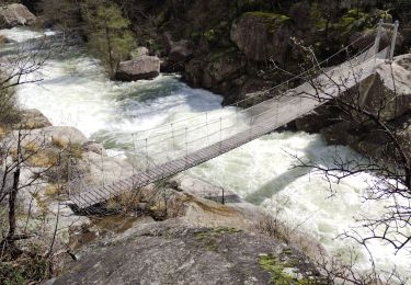
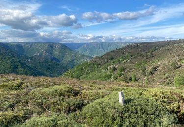
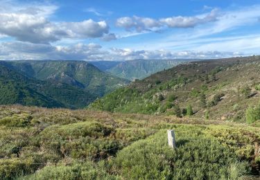
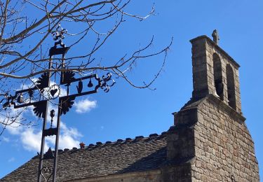
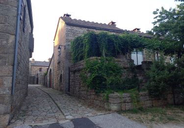
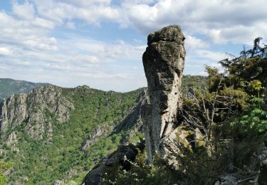
Trail Cycle Villefort - Granite Mont Lozère édition 2009 - 47 km - Photo

Granite Mont Lozère édition 2009 - 47 km

 tracegps
tracegps

User

© OpenStreetMap contributors
Length
Length
46 km
Max alt
Max alt
1479 m
Uphill gradient
Uphill gradient
1317 m
Km-Effort
Km-Effort  
64 km
Min alt
Min alt
515 m
Downhill gradient
Downhill gradient
1320 m
Boucle
Boucle
Yes
Creation date :
2014-12-10 00:00:00.0
Updated on :
2014-12-10 00:00:00.0

(0 Reviews)

Cycle
Cycle
2h30
Difficulty : Difficult

Scan this QR Code to open this trail in the SityTrail application

FREE GPS app for hiking

Logo SityTrail SityTrail

IGN / Geographical institutes

Download SityTrail from the App Store Download SityTrail from Google Play

Logo SityTrail SityTrail World

The world is yours!

Download SityTrail from the App Store Download SityTrail from Google Play Download SityTrail on Huawei AppGallery

About

Trail Cycle of 46 km to be discovered at Occitania, Lozère, Villefort. This trail is proposed by tracegps.

Description

Granite Mont Lozère édition 2009 – 47 km Les 23 et 24 Mai 2009 L’évènement est repris depuis 2008 par LVO (Ludovic Valentin Organisation), structure professionnelle de l’évènementiel sportif spécialisé dans le cyclisme (Transmaurienne-Sybelles, Arvan Villards, Arabian Trophy). L’année 2009 sera l’année de la confirmation pour la Granite Mont Lozère. Le premier objectif sera de continuer à relancer cette épreuve qui enregistre déjà une augmentation intéressante entre 2006 et 2008. L’épreuve est inscrite au calendrier du challenge national « Cyclo’tour » et y figure comme la troisième manche, après l’ouverture de saison faite dans le Vaucluse, et la Lozérienne qui aura eu lieu le mois précédent. En continuant de baser l’épreuve en centre ville de Villefort (place du Bosquet) le 14 Juin prochain, l’accueil des coureurs sera à son meilleur niveau : un site accessible, au coeur de la vie du village. La collaboration avec l’AASCL, association locale de Villefort, sera bien entendue toujours à l’ordre du jour.

Elevation profile

Photos

Positioning

Country:
France
Region :
Occitania
Department/Province :
Lozère
Municipality :
Villefort
Location:
Unknown
Start:(UTM)
574123 ; 4921297 (31T) N.

Trails nearby

Trail Walking Pied-de-Borne - GRP Tour du Chassezac en 2 jours - Photo
Walking
GUIDE
nadinebondoux

Walking

Difficult
Pied-de-Borne, Occitania, Lozère, France
25 km | 36 km-effort
6h 50min
No
Trail On foot Malons-et-Elze - GR 44 - Photo
On foot
PRO

On foot

Easy
Malons-et-Elze, Occitania, Gard, France
4.8 km | 6.4 km-effort
1h 26min
No
Trail Walking Prévenchères -  Gorges de Chassezac - Photo
Walking
cousam

Walking

Difficult
Prévenchères, Occitania, Lozère, France
19 km | 30 km-effort
7h 33min
Yes
Trail Walking Pied-de-Borne - Le tour du Chassezac  - Photo
Walking
GUIDE
Roger Philippe Wallez

Walking

Very difficult
Pied-de-Borne, Occitania, Lozère, France
49 km | 72 km-effort
37h 28min
Yes
Trail Walking Pied-de-Borne - Le tour du chassezac - Photo
Walking
GUIDE
Roger Philippe Wallez

Walking

Very difficult
Pied-de-Borne, Occitania, Lozère, France
49 km | 72 km-effort
16h 34min
Yes
Trail Walking Prévenchères - La garde guerin  - Photo
Walking
GUIDE
antignacs

Walking

Very easy
Prévenchères, Occitania, Lozère, France
6.1 km | 7.4 km-effort
1h 39min
Yes
Trail Walking Prévenchères - Gorges du Chassezac au départ de la Garde guérin  - Photo
Walking
GUIDE
nadinebondoux

Walking

Difficult
Prévenchères, Occitania, Lozère, France
10 km | 17.2 km-effort
4h 3min
Yes
Trail Walking Prévenchères - La Garde Guerin - Photo
Walking
sylvain.cano

Walking

Very difficult
Prévenchères, Occitania, Lozère, France
12.4 km | 21 km-effort
5h 5min
Yes
Trail Walking Pourcharesses - tour du lac de Villefort et chapelle Saint Loup.  - Photo
Walking
dcharbonnier

Walking

Easy
Pourcharesses, Occitania, Lozère, France
9 km | 12.8 km-effort
3h 53min
No


Close
My subscriptions