Trail Walking Linselles - Chapelles et Censes de Linselles - Photo

Chapelles et Censes de Linselles

 tracegps
tracegps

User

© OpenStreetMap contributors
Length
Length
13.4 km
Max alt
Max alt
52 m
Uphill gradient
Uphill gradient
91 m
Km-Effort
Km-Effort  
14.6 km
Min alt
Min alt
18 m
Downhill gradient
Downhill gradient
91 m
Boucle
Boucle
Yes
Creation date :
2014-12-10 00:00:00.0
Updated on :
2014-12-10 00:00:00.0

(1 Reviews)

Walking
Walking
3h25
Difficulty : Medium

Scan this QR Code to open this trail in the SityTrail application

FREE GPS app for hiking

Logo SityTrail SityTrail

IGN / Geographical institutes

Download SityTrail from the App Store Download SityTrail from Google Play

Logo SityTrail SityTrail World

The world is yours!

Download SityTrail from the App Store Download SityTrail from Google Play Download SityTrail on Huawei AppGallery

About

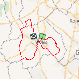
Trail Walking of 13.4 km to be discovered at Hauts-de-France, Nord, Linselles. This trail is proposed by tracegps.

Description

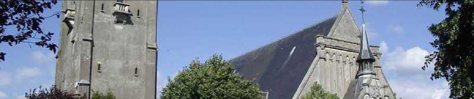
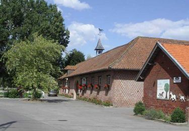
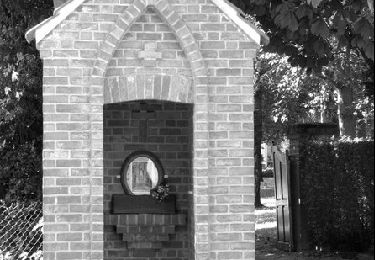
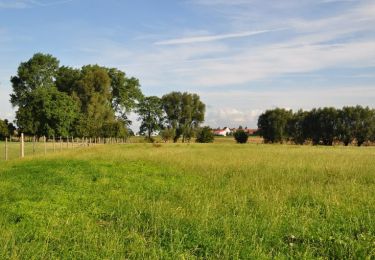
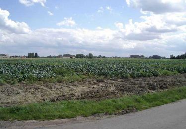
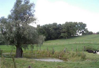
Chapelles et Censes de Linselles. Départ : parking de la place de la Victoire à Linselles. Chemins, routes de campagne et voiries urbaines constituent cet itinéraire de liaison entre Roncq et Linselles. Ce circuit en "8" permet de concevoir la grande boucle de 13 km ou deux boucles de 8 et 5 km. Retrouvez cette randonnée sur le site du Comité Départemental du Tourisme du Nord.

Elevation profile

Photos

Positioning

Country:
France
Region :
Hauts-de-France
Department/Province :
Nord
Municipality :
Linselles
Location:
Unknown
Start:(UTM)
505516 ; 5620587 (31U) N.

Comments

Please log in to post a review or rate the element


trop de routes ...


Trails nearby

Trail Walking Comines - Les Becques de Comines - Photo
Walking
tracegps

Walking

Difficult
(1)
Comines, Hauts-de-France, Nord, France
14.3 km | 15.2 km-effort
3h 34min
Yes
Trail Walking Wervicq-Sud - Milpattes - 08042013 - Photo
Walking
jacques.moulin@hotmail.com

Walking

Easy
(1)
Wervicq-Sud, Hauts-de-France, Nord, France
9.1 km | 10.2 km-effort
2h 14min
Yes
Trail Running Roncq - Courir autour de Roncq  - Photo
Running
tracegps

Running

Medium
Roncq, Hauts-de-France, Nord, France
10.4 km | 11.3 km-effort
1h 0min
Yes
Trail Mountain bike Roncq - De Roncq à la Lys en VTT - Photo
Mountain bike
tracegps

Mountain bike

Difficult
Roncq, Hauts-de-France, Nord, France
43 km | 47 km-effort
2h 30min
Yes
Trail Other activity Roncq - Voie verte et campagne - Roncq - Photo
Other activity
tracegps

Other activity

Difficult
Roncq, Hauts-de-France, Nord, France
17.2 km | 19 km-effort
2h 24min
Yes
Trail Walking Bondues - Au départ de Bondues - Photo
Walking
tracegps

Walking

Difficult
Bondues, Hauts-de-France, Nord, France
12.3 km | 13.4 km-effort
3h 4min
Yes
Trail Walking Bousbecque - Circuit des Auger de Bousbecque - Photo
Walking
tracegps

Walking

Medium
(1)
Bousbecque, Hauts-de-France, Nord, France
13.3 km | 14.5 km-effort
3h 19min
Yes
Trail Walking Comines - Le circuit des tilleuls (Comines) - Photo
Walking
tracegps

Walking

Medium
Comines, Hauts-de-France, Nord, France
9.6 km | 10.2 km-effort
2h 30min
Yes
Trail Walking Wervicq-Sud - Circuit de la Montagne (Wervicq-Sud) - Photo
Walking
tracegps

Walking

Easy
Wervicq-Sud, Hauts-de-France, Nord, France
6.4 km | 7.3 km-effort
1h 40min
Yes


Close
My subscriptions