


8.5 km | 10.6 km-effort

User


FREE GPS app for hiking
 SityTrail
IGN / Geographical institutes
SityTrail World
The world is yours!
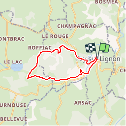
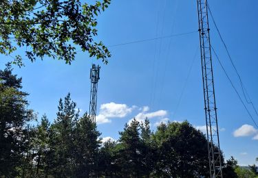
Trail Mountain bike of 11.3 km to be discovered at Auvergne-Rhône-Alpes, Haute-Loire, Fay-sur-Lignon. This trail is proposed by tracegps.
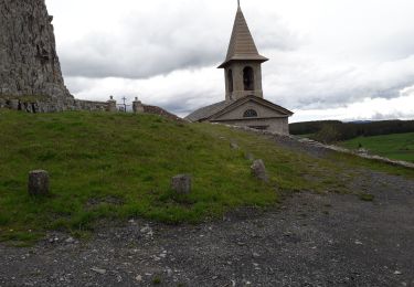
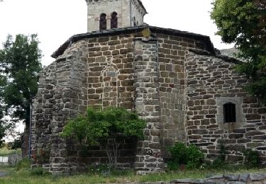
Site VTT FFC du Mézenc et de la Loire sauvage - Circuit n° 09 - Détour en sous bois à travers les Roches. Circuit officiel labellisé par la Fédération Française de Cyclisme. Une balade en forêt… c’est l’idéal ! Admirez de nombreuses fleurs protégées, et laissez-vous séduire par l’ambiance forestière des Roches. Les Roches est l’un des sites d’escalade privilégiée de club locaux. Débutants ou confirmés s’y retrouvent pour faire sonner la phonolite.


Walking

Cycle

Walking
Walking
Walking
Walking
Walking
Walking
Walking