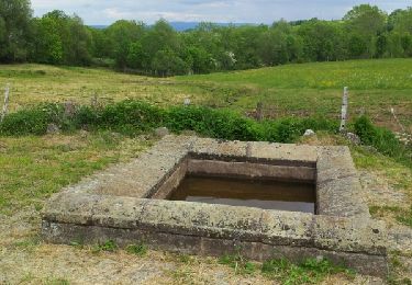
Trail Walking Valuéjols - Valuéjols - Photo
 tracegps
tracegps

User

© OpenStreetMap contributors
Length
Length
12 km
Max alt
Max alt
1163 m
Uphill gradient
Uphill gradient
203 m
Km-Effort
Km-Effort  
14.7 km
Min alt
Min alt
1001 m
Downhill gradient
Downhill gradient
205 m
Boucle
Boucle
Yes
Creation date :
2014-12-10 00:00:00.0
Updated on :
2014-12-10 00:00:00.0

(0 Reviews)

Walking
Walking
3h00
Difficulty : Medium

Scan this QR Code to open this trail in the SityTrail application

FREE GPS app for hiking

Logo SityTrail SityTrail

IGN / Geographical institutes

Download SityTrail from the App Store Download SityTrail from Google Play

Logo SityTrail SityTrail World

The world is yours!

Download SityTrail from the App Store Download SityTrail from Google Play Download SityTrail on Huawei AppGallery

About

Trail Walking of 12 km to be discovered at Auvergne-Rhône-Alpes, Cantal, Valuéjols. This trail is proposed by tracegps.

Description

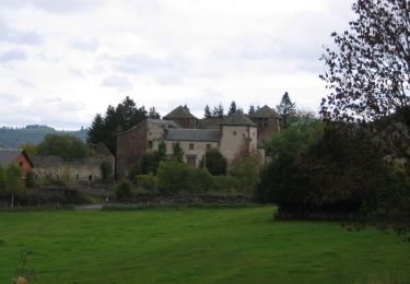
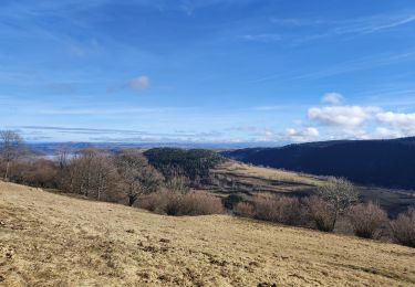
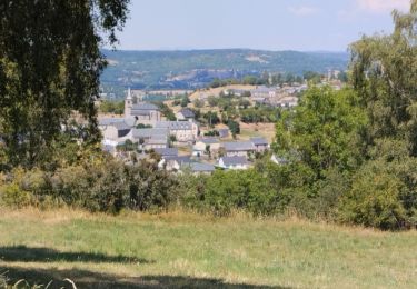
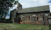
Balade sur la Planèze de Saint-Flour entre 1050 et 1150m d’altitude en moyenne. L’itinéraire suit un large chemin sur la majeure partie de son parcours, cependant à deux reprises il faut suivre un itinéraire parallèle notamment entre A et B car le chemin est impraticable, ou bien se diriger à la boussole entre C et D car le chemin cadastré est inexistant (remembrement oblige !). Dans les deux cas rien de bien compliqué… La balade permet de découvrir deux magnifiques églises romanes à St-Maurice et Valuéjols.

Elevation profile

Photos

Points of interest

Point of interest Valuéjols - A - Photo
tracegps
VALUÉJOLS 
Point of interest Valuéjols - B - Photo
tracegps
VALUÉJOLS 
Point of interest Paulhac - C - Photo
tracegps
PAULHAC 
Point of interest Valuéjols - D - Photo
tracegps
VALUÉJOLS 
Point of interest Valuéjols - départ - Photo
tracegps
VALUÉJOLS 

Positioning

Country:
France
Region :
Auvergne-Rhône-Alpes
Department/Province :
Cantal
Municipality :
Valuéjols
Location:
Unknown
Start:(UTM)
494704 ; 4988994 (31T) N.

Trails nearby

Trail Cycle Ussel - L'Usclade - Ussel - Photo
Cycle
tracegps

Cycle

Difficult
Ussel, Auvergne-Rhône-Alpes, Cantal, France
72 km | 87 km-effort
3h 0min
Yes
Trail Walking Albepierre-Bredons - Auzolles La Molede  - Photo
Walking
rene15000

Walking

Medium
Albepierre-Bredons, Auvergne-Rhône-Alpes, Cantal, France
16.8 km | 25 km-effort
4h 33min
Yes
Trail Walking Laveissenet - Laveissenet  - Photo
Walking
Gegetop

Walking

Medium
Laveissenet, Auvergne-Rhône-Alpes, Cantal, France
8.8 km | 11.2 km-effort
2h 37min
Yes
Trail Walking Valuéjols - Le bois des Fraux - Lescure - Photo
Walking
tracegps

Walking

Medium
Valuéjols, Auvergne-Rhône-Alpes, Cantal, France
8.2 km | 9.9 km-effort
2h 30min
Yes
Trail Mountain bike Valuéjols - tour de la planeze - Photo
Mountain bike
alyves

Mountain bike

Medium
Valuéjols, Auvergne-Rhône-Alpes, Cantal, France
60 km | 71 km-effort
3h 49min
Yes
Trail Walking Laveissenet - Cantal 2015 Cheylannes Le Ché - Photo
Walking
neleda

Walking

Easy
Laveissenet, Auvergne-Rhône-Alpes, Cantal, France
12.4 km | 15.6 km-effort
3h 23min
Yes
Trail Walking Valuéjols - Notre Dame de la Pitié - Le Ché - Photo
Walking
tracegps

Walking

Easy
(1)
Valuéjols, Auvergne-Rhône-Alpes, Cantal, France
5.3 km | 7.1 km-effort
1h 40min
Yes
Trail Walking Laveissenet - Laveissenet - St Loup - Photo
Walking
tracegps

Walking

Medium
Laveissenet, Auvergne-Rhône-Alpes, Cantal, France
7.8 km | 9.9 km-effort
2h 4min
Yes
Trail Walking Laveissenet - Laveissenet - Le Ché - Photo
Walking
tracegps

Walking

Medium
Laveissenet, Auvergne-Rhône-Alpes, Cantal, France
8.4 km | 10.8 km-effort
2h 0min
Yes


Close
My subscriptions