


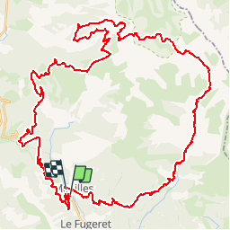

19.9 km | 37 km-effort

User


FREE GPS app for hiking
 SityTrail
IGN / Geographical institutes
SityTrail World
The world is yours!
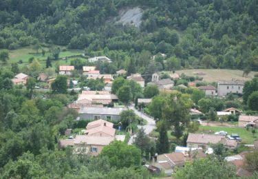
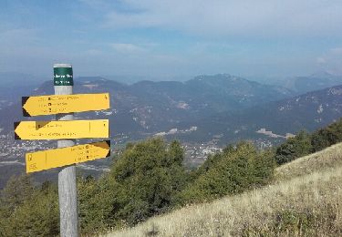
Trail Mountain bike of 64 km to be discovered at Provence-Alpes-Côte d'Azur, Alpes-de-Haute-Provence, Méailles. This trail is proposed by tracegps.
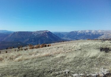
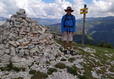
Parcours grandiose et extrêmement varié : un peu de joli chemin large, dures montées et traversées sur sentiers plutôt bien roulants, un minimum de portage (pour accéder à la baisse du Détroit), descentes interminables sur ou éventuellement hors sentier. Les lieux traversés sont très isolés du monde, l'ambiance est parfois aérienne ou bien la montagne semble nous écraser. Bref, vous l'avez compris, ce circuit est déconseillé aux enfants et aux personnes sensibles. Points d'eau à Aurent et à Argenton.


Walking
Walking
On foot
Walking
Walking
Cross-country skiing

Walking
Walking
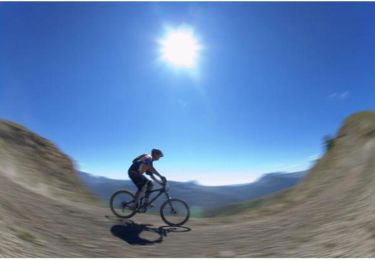
Mountain bike