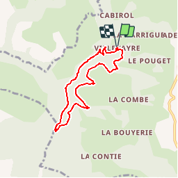

8.3 km | 12.7 km-effort


User


FREE GPS app for hiking
 SityTrail
IGN / Geographical institutes
SityTrail World
The world is yours!
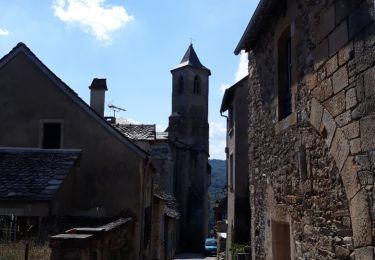
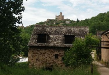
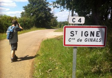
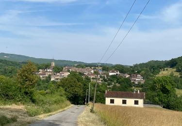
Trail Walking of 6.6 km to be discovered at Occitania, Aveyron, Najac. This trail is proposed by YV24.
D'après Visorando, sentier en partie balisé Jaune, VTT et sentier intercommunal. Le sentier sur le coteau n'apparaît pas sur la carte IGN (il est pourtant balisé).
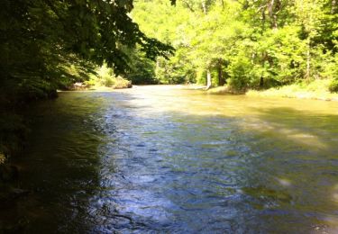
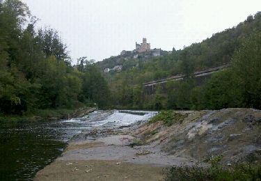
Traversées de ruisseaux non aménagées.
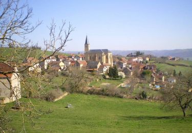
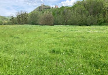
En fond de vallée la zone est humide et ombragée et le coteau beaucoup plus sec et ensoleillé.
Depuis le petit parking du cimetière, jolie et agréable randonnée, "sauvage" le long de la Jouyre.
Walking
Walking
Cycle
Walking
Walking