


12 km | 20 km-effort

User


FREE GPS app for hiking
 SityTrail
IGN / Geographical institutes
SityTrail World
The world is yours!
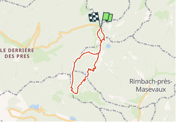
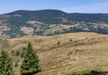
Trail Walking of 10.2 km to be discovered at Grand Est, Vosges, Saint-Maurice-sur-Moselle. This trail is proposed by tracegps.
Départ du Rouge Gazon. Monter par les pistes vers la gauche en suivant le balisage rectangle bleu et blanc (pas très visible en hiver) jusqu'au chalet de la Haute Berse. Ensuite suivre rectangle bleu, descendre aux lacs du Neuweiher, remonter jusqu'à la chaume du Gresson. Après la chaume, prendre tout de suite à droite (triangle bleu). Au col des charbonniers, suivre le GR direction col des perches, plus loin remonter par le chemin du départ. À la sortie de la forêt remonter la piste à droite pour monter à la Tête des Perches et admirer le paysage, en bas le lac des Perches et par beau temps les Alpes Suisses et Allemandes. Circuit magnifique mais difficile en raquettes à cause du dénivelé (550m) et 10km.


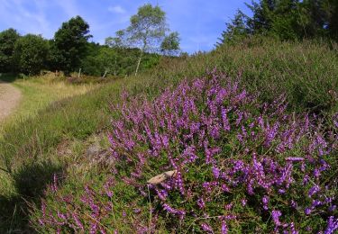
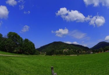
Walking

Walking
Walking

Walking

Mountain bike
Walking
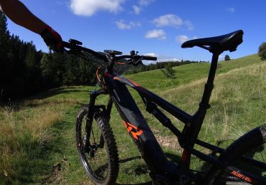
Mountain bike
Mountain bike
Mountain bike