


14.8 km | 18.9 km-effort


User


FREE GPS app for hiking
 SityTrail
IGN / Geographical institutes
SityTrail World
The world is yours!
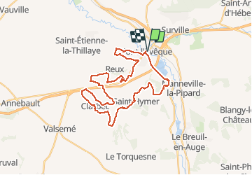
Trail Walking of 32 km to be discovered at Normandy, Calvados, Pont-l'Évêque. This trail is proposed by tracegps.
Encore plus sur le blog de 1crazybikers ! Veuillez installer Flash Player pour lire la vidéo rando pont l'eveque


Walking

Walking

Walking
Walking

Mountain bike

Walking

Mountain bike
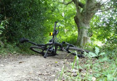
Mountain bike

Mountain bike