


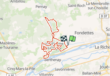

18.7 km | 22 km-effort


User


FREE GPS app for hiking
 SityTrail
IGN / Geographical institutes
SityTrail World
The world is yours!
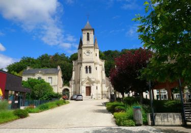
Trail Mountain bike of 35 km to be discovered at Centre-Loire Valley, Indre-et-Loire, Luynes. This trail is proposed by tracegps.
Balade proposée par le site ASFVTT

Walking
Walking
Walking
Walking
Walking
Walking
Walking
Walking
Walking