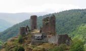

GTMC de Claire - 6

tracegps
User

Length
58 km

Max alt
1562 m

Uphill gradient
1268 m

Km-Effort
74 km

Min alt
922 m

Downhill gradient
1068 m
Boucle
No
Creation date :
2014-12-10 00:00:00.0
Updated on :
2014-12-10 00:00:00.0
4h30
Difficulty : Very difficult

FREE GPS app for hiking
About
Trail Mountain bike of 58 km to be discovered at Occitania, Lozère, Arzenc-de-Randon. This trail is proposed by tracegps.
Description
La Grande Traversée du Massif Central par Claire et ses amis. En douze étapes, revivez cette aventure sur son site. Sixième étape: lundi 07 Août 2006. Retrouvez le résumé de la journée, les conseils et les photos ICI
Positioning
Country:
France
Region :
Occitania
Department/Province :
Lozère
Municipality :
Arzenc-de-Randon
Location:
Unknown
Start:(Dec)
Start:(UTM)
547170 ; 4946213 (31T) N.
Comments
Trails nearby

06 GTMC Le Giraldès-Le Pont de Monvert


Mountain bike
Easy
(1)
Arzenc-de-Randon,
Occitania,
Lozère,
France

90 km | 113 km-effort
15min
No
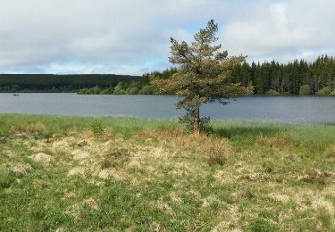
Le tour du lac de Charpal


Walking
Very easy
(1)
Monts-de-Randon,
Occitania,
Lozère,
France

9 km | 10.2 km-effort
2h 20min
Yes

tour du lamc Charpal


Walking
Easy
(2)
Monts-de-Randon,
Occitania,
Lozère,
France

9.4 km | 10.8 km-effort
3h 5min
Yes
Fait GTMC 2022 E2 3,3 b


Mountain bike
Difficult
Arzenc-de-Randon,
Occitania,
Lozère,
France

54 km | 69 km-effort
6h 14min
No
Arzenc de Rendon


Walking
Easy
Arzenc-de-Randon,
Occitania,
Lozère,
France

10.6 km | 14.5 km-effort
3h 9min
Yes
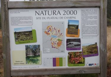
Truc de Fortunio et lac de Charpal


Walking
Medium
Monts-de-Randon,
Occitania,
Lozère,
France

16.6 km | 22 km-effort
5h 48min
Yes

Tour du lac de Charpal


Walking
Medium
Monts-de-Randon,
Occitania,
Lozère,
France

9.1 km | 10.5 km-effort
1h 59min
Yes

La Colagne


Fishing
Very easy
Monts-de-Randon,
Occitania,
Lozère,
France

49 km | 56 km-effort
12min
No


 SityTrail


