


19.1 km | 30 km-effort

User


FREE GPS app for hiking
 SityTrail
IGN / Geographical institutes
SityTrail World
The world is yours!
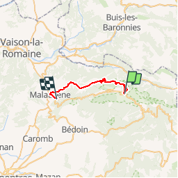
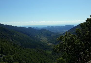
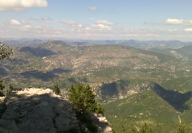
Trail Mountain bike of 23 km to be discovered at Provence-Alpes-Côte d'Azur, Vaucluse, Bédoin. This trail is proposed by tracegps.
Une descente de 1685m très technique qui suit le GR4, à faire !


Walking

Walking
Walking
Walking
Walking
Walking

Walking
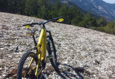
Mountain bike
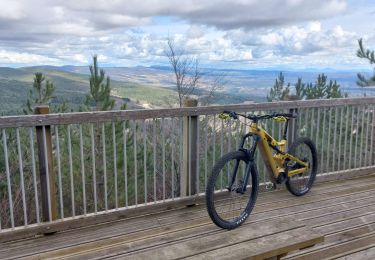
Mountain bike
Comment pouvez vous affichez cette descente !!! Ce tracé au départ du sommet jusqu'à la piste du col du compte est interdit à la pratique du Vtt !!!!