


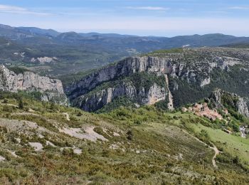
12.1 km | 26 km-effort
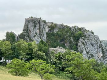
Rougon: Discover the best trails: 51 hiking trails and 5 bike and mountain-bike routes. All these trails, routes and outdoor activities are available in our SityTrail applications for smartphones and tablets.
Walking


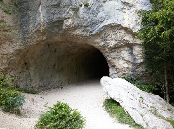
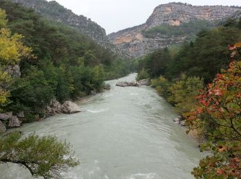
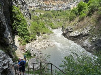
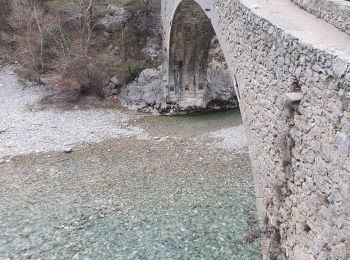
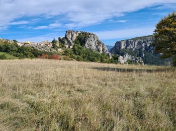
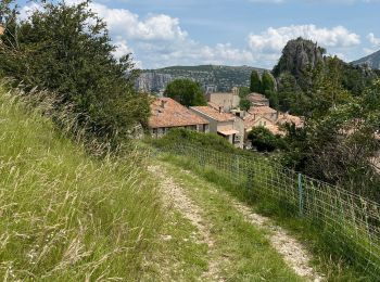
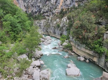
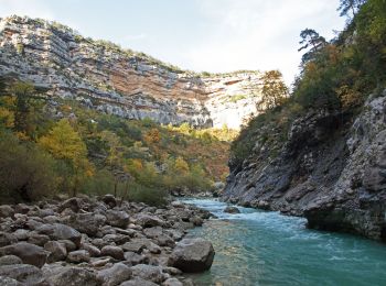
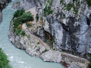
• Cette superbe rando,balisée rouge et blanc,est devenue la classique des gorges.Tantôt en balcon,tantôt près du cours ...
Walking
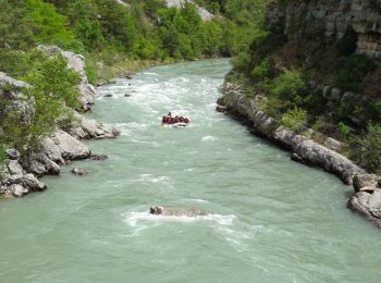
• Gorges du Verdon - de Point Sublime vers Encastel - AR ; jour de pluie
Walking
Walking
Walking
Walking
Walking
Walking
Walking

Walking
Walking
Walking
Walking
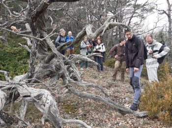
On foot
Walking
Walking

 11.45
11.45
sport

Walking
Walking
Walking
20 trails displayed on 63
FREE GPS app for hiking
 SityTrail
IGN / Geographical institutes
SityTrail World
The world is yours!