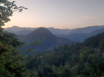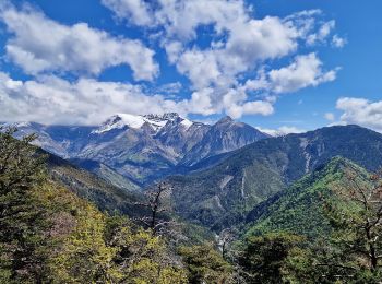
Beaujeu, Alpes-de-Haute-Provence: Best trails, routes and walks
Beaujeu: Discover the best trails: 6 hiking trails. All these trails, routes and outdoor activities are available in our SityTrail applications for smartphones and tablets.
The best trails (6)

Km
#1 - LA JAVIE. COL DE BOUILLARD . CRETES DU BLAYEUL LED AJUSTATS . COL DE BOUILL...


Walking
Difficult
Beaujeu,
Provence-Alpes-Côte d'Azur,
Alpes-de-Haute-Provence,
France

12.7 km | 24 km-effort
4h 49min

866 m

863 m
Yes
RobinMicheline

Km
#2 - Sommet Barre des Tremblès (St Pierre)


Walking
Very difficult
Beaujeu,
Provence-Alpes-Côte d'Azur,
Alpes-de-Haute-Provence,
France

11.4 km | 19.1 km-effort
4h 20min

576 m

576 m
Yes
PapouBertrand

Km
#3 - barre des remblés


Walking
Medium
Beaujeu,
Provence-Alpes-Côte d'Azur,
Alpes-de-Haute-Provence,
France

11.5 km | 19.2 km-effort
4h 53min

579 m

578 m
Yes
gibello

Km
#4 - blayeul labouret boullard


Walking
Very difficult
Beaujeu,
Provence-Alpes-Côte d'Azur,
Alpes-de-Haute-Provence,
France

16.8 km | 32 km-effort
7h 16min

1143 m

1141 m
Yes
Danielba

Km
#5 - Rando949


Walking
Difficult
Beaujeu,
Provence-Alpes-Côte d'Azur,
Alpes-de-Haute-Provence,
France

22 km | 38 km-effort
9h 4min

1179 m

1179 m
Yes
Escondido

Km
#6 - Sommet des Ajustats


Walking
Difficult
Beaujeu,
Provence-Alpes-Côte d'Azur,
Alpes-de-Haute-Provence,
France

11.8 km | 23 km-effort
4h 3min

808 m

816 m
Yes
Clo0413
6 trails displayed on 6
FREE GPS app for hiking


 SityTrail


