


6.3 km | 8.1 km-effort
Bezirk Winterthur: Discover the best trails: 27 hiking trails. All these trails, routes and outdoor activities are available in our SityTrail applications for smartphones and tablets.
On foot


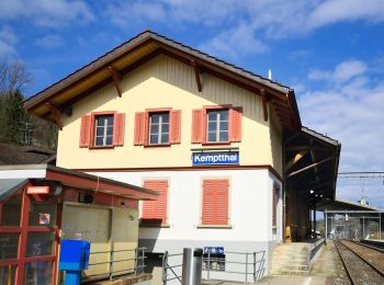
• Etappe Leisental: Sennhof Kemptthal Website: https://www.rundweg.winterthur.ch/index.php?ref=search&refid=3344446...
On foot
• Trail created by Zürcher Wanderwege ZAW. Symbol: gelbe Raute

On foot
• Trail created by Zürcher Wanderwege ZAW. Symbol: gelbe Raute
On foot
• Trail created by Zürcher Wanderwege ZAW. Symbol: gelbe Raute
On foot
• Trail created by Wanderland Schweiz. Symbol: Weinrebe zusammen mit schwarzer Schrift Tössegg Klettgau Weg in grünem ...
On foot
• Trail created by Zürcher Wanderwege ZAW. Symbol: gelbe Raute

On foot
• Trail created by Zürcher Wanderwege ZAW. Symbol: gelbe Raute
On foot
• Trail created by Zürcher Wanderwege ZAW. Symbol: gelbe Raute
On foot
• Trail created by Zürcher Wanderwege ZAW. Symbol: gelbe Raute

On foot
• Trail created by Zürcher Wanderwege ZAW. Symbol: gelbe Raute
On foot
• Trail created by Zürcher Wanderwege ZAW. Symbol: gelbe Raute
On foot
• Trail created by Zürcher Wanderwege ZAW. Symbol: gelbe Raute
On foot
• Trail created by Zürcher Wanderwege ZAW. Symbol: gelbe Raute
On foot
• Trail created by Zürcher Wanderwege ZAW. Symbol: gelbe Raute
On foot
• Trail created by Zürcher Wanderwege ZAW. Symbol: gelbe Raute
On foot
• Trail created by Zürcher Wanderwege ZAW. Symbol: gelbe Raute
On foot
• Trail created by Zürcher Wanderwege ZAW. Symbol: gelbe Raute
On foot
• Trail created by Zürcher Wanderwege ZAW. Symbol: gelbe Raute
On foot
• Trail created by Zürcher Wanderwege ZAW. Symbol: gelbe Raute
On foot
• Trail created by Zürcher Wanderwege. Symbol: gelbe Raute
20 trails displayed on 27
FREE GPS app for hiking
 SityTrail
IGN / Geographical institutes
SityTrail World
The world is yours!