


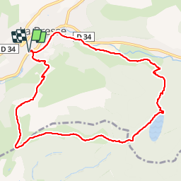

22 km | 35 km-effort

Benutzer


Kostenlosegpshiking-Anwendung
 SityTrail
IGN / Geografische Institute
SityTrail World
Die Welt öffnet sich für Sie
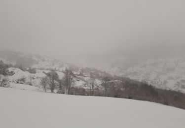
Tour Wandern von 10,3 km verfügbar auf Großer Osten, Vogesen, Woll. Diese Tour wird von VacheKiri67 vorgeschlagen.
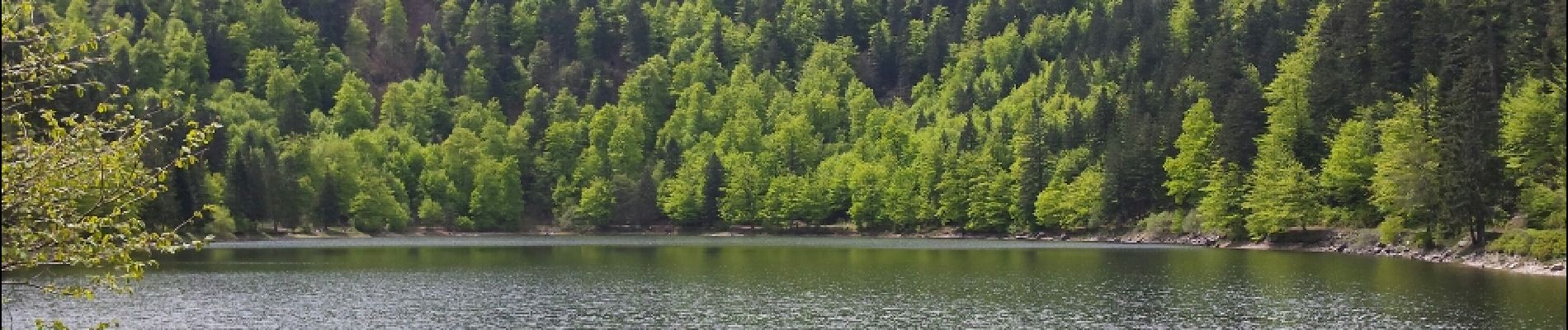
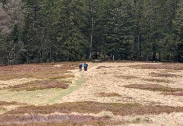
Faite le 08/05/2015 avec notre fils de 10 ans. D'après : Mes balades préférées dans les Vosges de Daniel Wenger - N°20 Le col du Brabant et le lac des Corbeaux. La durée indiquée pour le circuit est de 2h45.


Wandern
Wandern

Wandern

Wandern

Wandern

Wandern

Mountainbike
Wandern

Wandern
Magnifique parcours avec panoramas.