


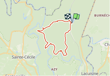


18,6 km | 25 km-effort

Benutzer


Kostenlosegpshiking-Anwendung
 SityTrail
IGN / Geografische Institute
SityTrail World
Die Welt öffnet sich für Sie
Tour Wandern von 12,8 km verfügbar auf Wallonien, Luxemburg, Florenville. Diese Tour wird von guyernage25 vorgeschlagen.
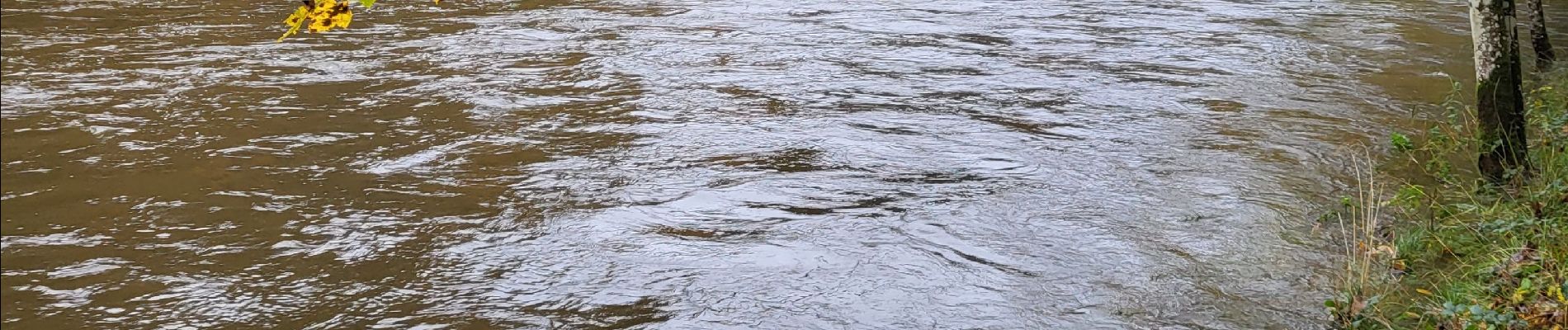
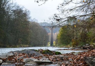
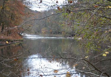
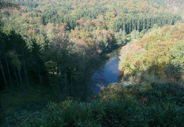
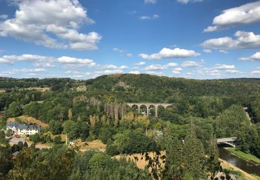
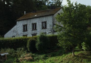
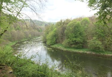
Belle rando forestiere vers la Semois et le point de vue du chat


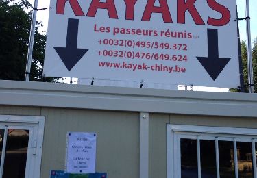
43 Fotos insgesamt. Klicken Sie auf ein Foto, um sie alle in der Galerie zu sehen.
Wandern
Wandern
Wandern
Wandern
Wandern

Wandern
Wandern
Wandern

Wandern