


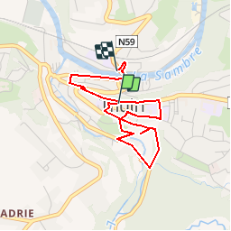


8,7 km | 10,9 km-effort

Randonnées de la Maison du Tourisme du Val de Sambre et de Thudinie


Kostenlosegpshiking-Anwendung
 SityTrail
IGN / Geografische Institute
SityTrail World
Die Welt öffnet sich für Sie
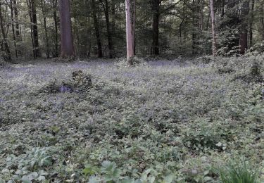
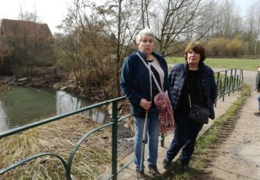
Tour Wandern von 3,3 km verfügbar auf Wallonien, Hennegau, Thuin. Diese Tour wird von Maison du Tourisme du Val de Sambre et de Thudinie vorgeschlagen.
Parcours d'Art "Fluide" à Thuin
Wandern

Wandern

Wandern

Wandern

Wandern

Wandern

Wandern
Wandern
Wandern