


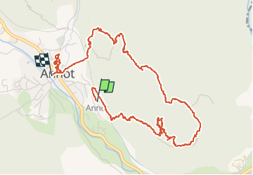

5,9 km | 10,9 km-effort

Benutzer


Kostenlosegpshiking-Anwendung
 SityTrail
IGN / Geografische Institute
SityTrail World
Die Welt öffnet sich für Sie
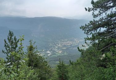
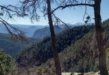
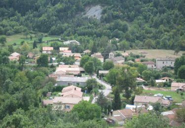
Tour Wandern von 6,8 km verfügbar auf Provence-Alpes-Côte d'Azur, Alpes-de-Haute-Provence, Annot. Diese Tour wird von Christiancordin vorgeschlagen.
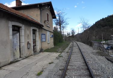
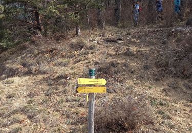
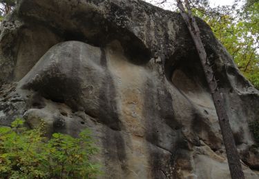
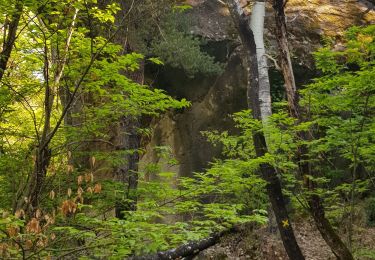
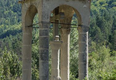
Départ PK de la gare-les Grès-chambre du Roi-les Portettes-les Espaluns-la chapelle-visite d'Annot.


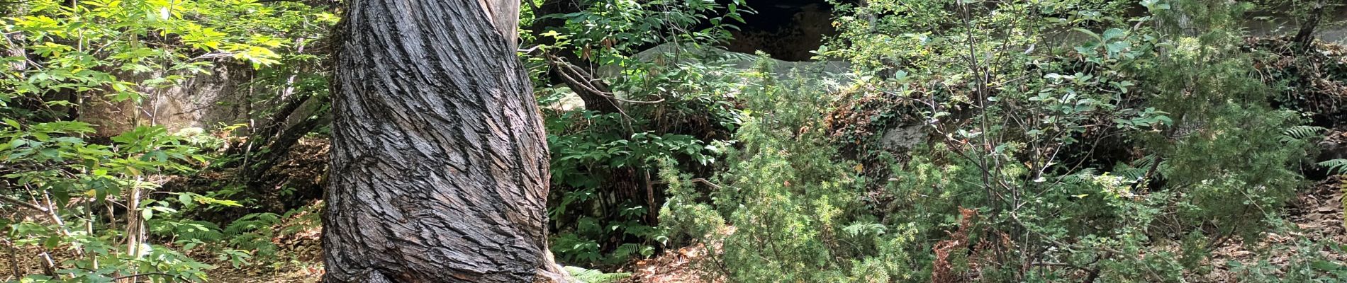
Zu Fuß
Wandern

Wandern
Wandern
Wandern
Wandern
Wandern
Zu Fuß
Zu Fuß