


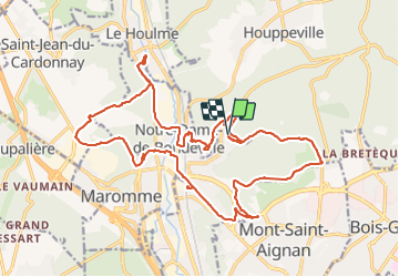


11,7 km | 15,2 km-effort

Benutzer


Kostenlosegpshiking-Anwendung
 SityTrail
IGN / Geografische Institute
SityTrail World
Die Welt öffnet sich für Sie
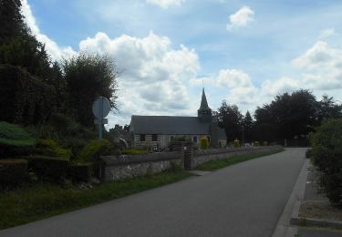
Tour Wandern von 23 km verfügbar auf Normandie, Seine-Maritime, Notre-Dame-de-Bondeville. Diese Tour wird von jacques delaporte vorgeschlagen.
Belle randonnée hivernale,sensibles au Macadam, s'abstenir et agréable douceur Normande


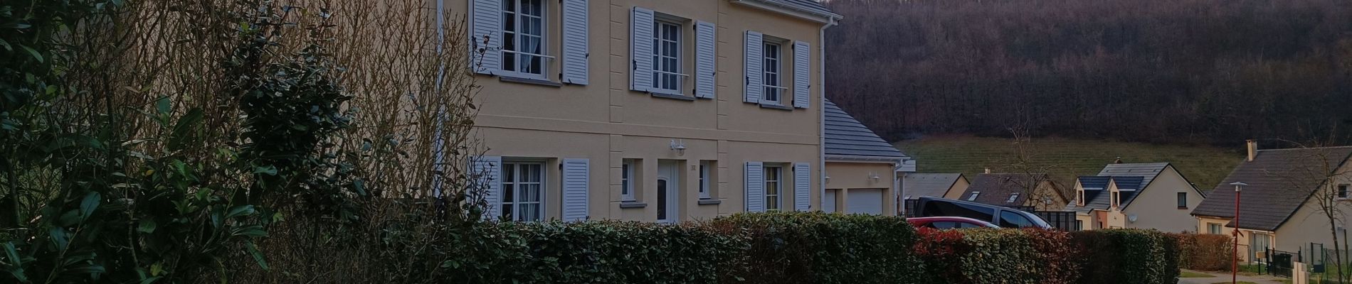
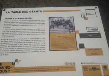
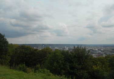
27 Fotos insgesamt. Klicken Sie auf ein Foto, um sie alle in der Galerie zu sehen.
Wandern

Wandern

Wandern

Mountainbike

Wandern

Nordic Walking

Wandern
Wandern
Wandern