


9,6 km | 13,3 km-effort

Benutzer


Kostenlosegpshiking-Anwendung
 SityTrail
IGN / Geografische Institute
SityTrail World
Die Welt öffnet sich für Sie
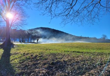
Tour Wandern von 6,4 km verfügbar auf Großer Osten, Vogesen, Vieux-Moulin. Diese Tour wird von Tomtom88210 vorgeschlagen.
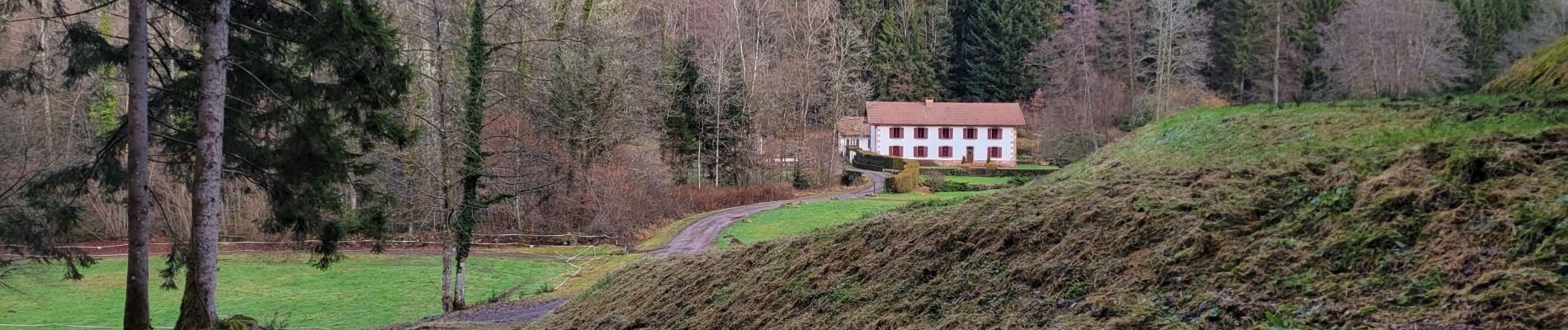
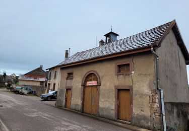
Randonnée au départ et arrivée à la mairie de Vieux-Moulin.
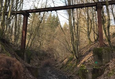
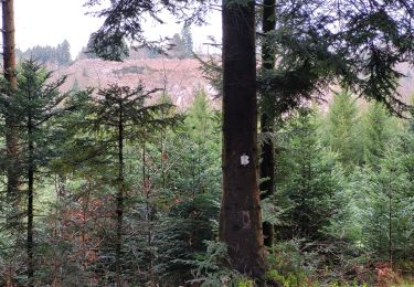
Passage par une zone boueuse et marécageuse délicate en période de pluie et ou de fonte de neige (à 2,700 kms)
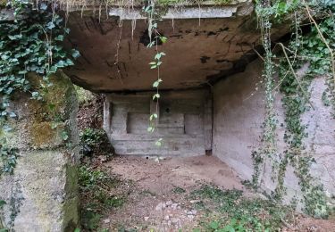
Passage à proximité du Moulin de la Rochère .


Wandern
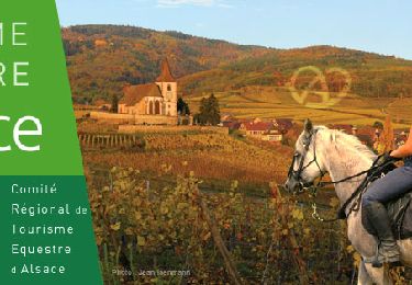
Reiten

Wandern
Wandern
Wandern
Wandern

Wandern
Wandern
Wandern