


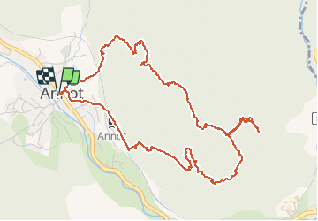

5,9 km | 10,9 km-effort

Benutzer


Kostenlosegpshiking-Anwendung
 SityTrail
IGN / Geografische Institute
SityTrail World
Die Welt öffnet sich für Sie
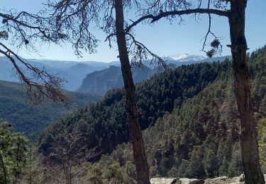
Tour Wandern von 6,5 km verfügbar auf Provence-Alpes-Côte d'Azur, Alpes-de-Haute-Provence, Annot. Diese Tour wird von ericf64 vorgeschlagen.
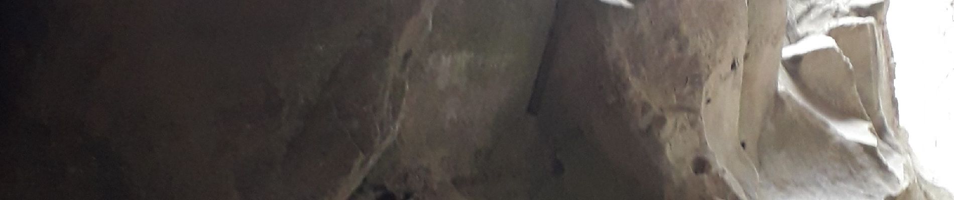
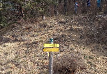
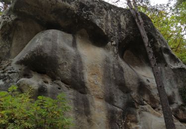
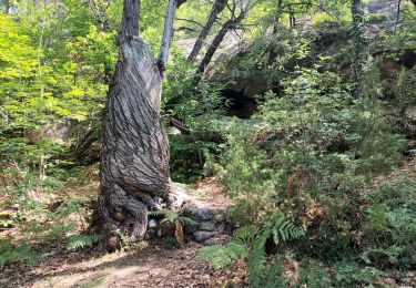
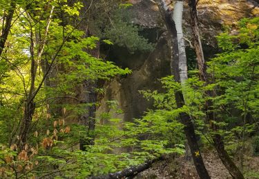
au départ d'anneau parcours de la chambre du roi très beau parcours. Ne pas louper la chambre du roi qui se trouve à la deuxième photo l'entrée de la petite grotte . rentrer dans cette grotte puis prendre à gauche.


Zu Fuß
Wandern

Wandern
Wandern
Wandern
Wandern
Wandern
Wandern
Zu Fuß