


16,9 km | 23 km-effort
Malmedy : Entdecken Sie die besten Touren : 555 zu Fuß, 86 mit dem Fahrrad oder Mountainbike und 1 auf dem Pferderücken. Alle diese Touren, Trails, Routen und Outdoor-Aktivitäten sind in unseren SityTrail-Apps für Smartphones und Tablets verfügbar.
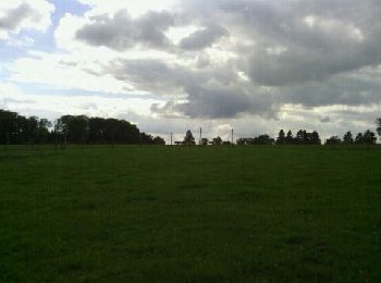
Wandern


Wandern

Wandern
Wandern
Wandern
Wandern
Wandern
• Bellevaux – Ligneuville – Fisé – Thirimont – Lamonriville – Xhurdebise – Bellevaux Cartographie et documentation...

Zu Fuß
Wandern
Wandern
Wandern
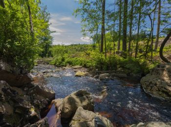
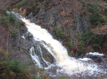
• Très belle balade le long de beau cours d'eau et d'une cascade.
Wandern
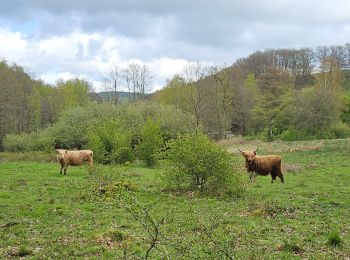
• Forêt et fagnes
Wandern
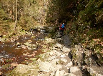
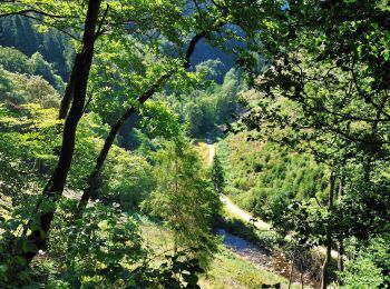
• La Warche et ses rochers
Wandern
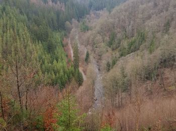
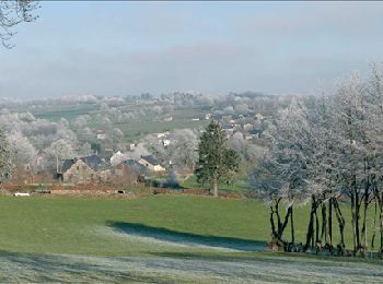
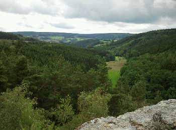
• Sur les hauteurs dominant la haute vallée de l’Amblève et la Warche Bellevaux – Ligneuville – Xhurdebise – Bellevaux...

Wandern
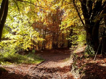
• Très belle ballade

Rollerblading
• Ligneuville
Wandern
Wandern
Wandern
Wandern
• Details de la rando sur TraceGPS.com http://www.tracegps.com/fr/parcours/circuit2165.htm
20 Angezeigte Touren bei 712
Kostenlosegpshiking-Anwendung
 SityTrail
IGN / Geografische Institute
SityTrail World
Die Welt öffnet sich für Sie